


On the map, click on counties/markers for more information.
Notes:
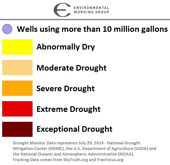
ZOOM into areas where you see blue dots to identify wells that were fracked with 10 million gallons of water or more. CLICK on the dot to see details of when the well was fracked, what company drilled it and the amount of water used. The surrounding color reflects the drought status of the area as of July 29, 2014.