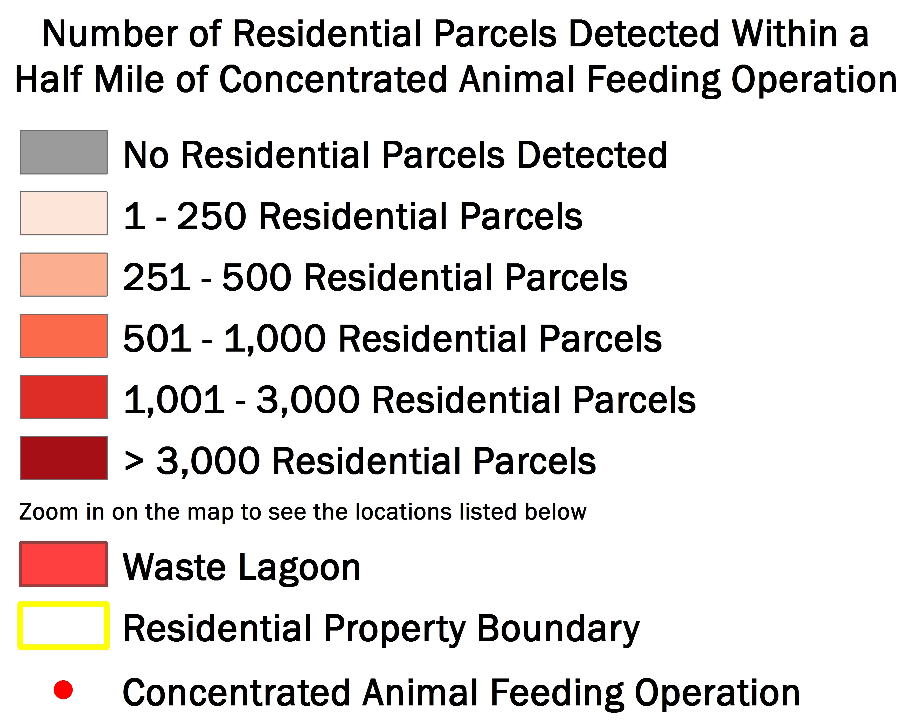
To interact with the map, zoom in and click on counties/markers or type an address in the search box.
Interactive Map: North Carolina Residential Parcels Within a Half Mile of a CAFO

Share this page

Share Share

Share Share on Social Media

Map Info

Data and Methodology for the North Carolina Animal Feeding Operation Maps

Data on the maps represent estimates of locations and populations in an attempt to accurately document animal feeding operations and their proximity to residential parcels. EWG assumes no responsibility for location accuracy, errors or omissions represented on the maps.


Read the full methodology here.
 

Search by Zip Code

Please type below a 5-digit Zip Code, then click on "SEARCH"